Kanu Links
The Spanish River
All photos will expand when you click on them
![]()
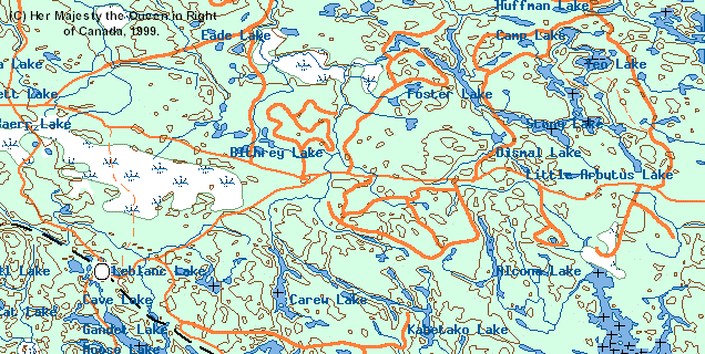
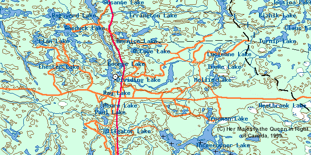
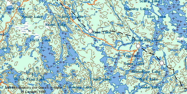
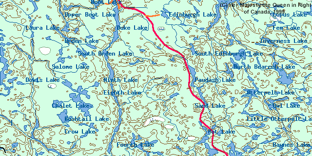
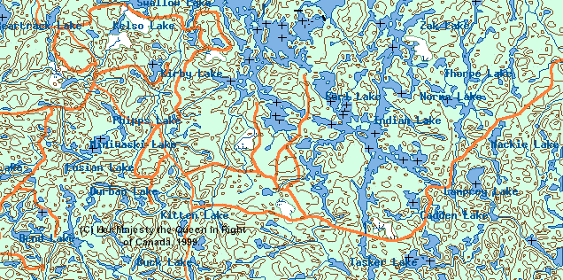
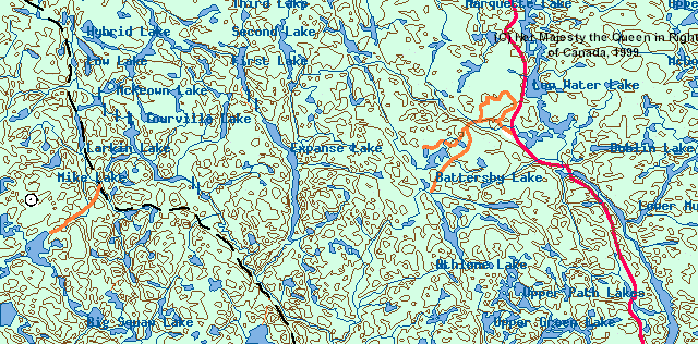
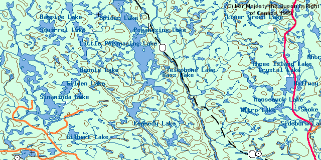
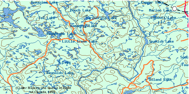
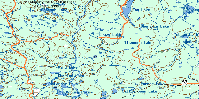
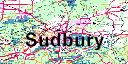
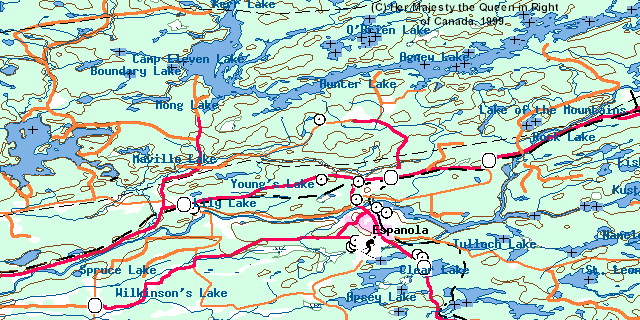
An overview of the Spanish River in Ontario: a click of the mouse will get you detailed maps. There are the East and West Branches, the take-out at the Elbow about 3/4 down, and the bottom take-out at Agnes Lake (the detailed map does not label that lake: it's the largest lake, in the top third of the southernmost detailed map). Sudbury, a city 4 hours drive north of Toronto, is shown for reference at the bottom right. Each rectangle is about 25km times 50km (or 15 miles times 30 miles).
The maps were obtained from Toporama and are protect by (C) Her Majesty the Queen in Right of Canada, 1999.
 |
 |
||
 |
 |
||
 |
 |
||
 |
 |
||
 |
 |
||
 |
 |
 |
|
 |
 |
 |
Click here to get back to Erhard's Home Page
Click here to get to Erhard's Favorite Paddling Areas