
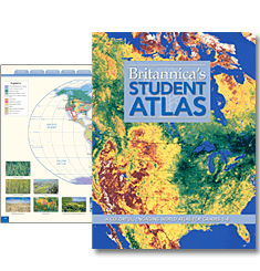
Ideal for the classroom or library, Britannica's Student Atlas provides vivid and detailed geographical information that is ideal for daily lessons, school projects, and homework. Students will enjoy exploring the world with full-color maps, photographs, and easy-to-use charts and graphs. Thematic maps of the continental drift, ocean floor, the environment, natural resources, and other school topics help explain more complex geography concepts. Britannica's Student Atlas is the perfect resource for teaching students about their world.
Physical Maps that Display the Natural World's Landforms and Bodies of Water
Learn about major rivers and deserts, highest and lowest elevations, ocean currents, and wind patterns.
Political Maps that Reflect Today's World
Locate towns and countries across the globe. Be confident that you have the most recent updates to names, boundaries, capitals, and more.
Charts and Graphs that Provide Detailed Information at a Glance
Statistics on agriculture, energy consumption, literacy, religions, and other important topics are summarized for students.
Fact-Filled International Section
Access data on population, languages, and monetary units plus a color flag for each country.
PAGES: 132
VOLUMES: 1
COPYRIGHT: 2009
"The real marvel of this information-packed resource is that its creators have managed to make it so accessible and visually interesting, while keeping the page count backpack-friendly."
School Library Journal, February 2009
Britannica's Student Atlas
Grade Level: 5 to 8